|
| *****SWAAG_ID***** | 820 |
| Date Entered | 27/07/2014 |
| Updated on | 15/09/2014 |
| Recorded by | Doug Waugh |
| Category | Burial Mounds and Cairns |
| Record Type | Archaeology |
| SWAAG Site | Grinton Moor |
| Site Access | Public Access Land |
| Record Date | 24/07/2014 |
| Location | Beside track to Grovebeck smelt mill from Grinton/Redmire road |
| Civil Parish | Grinton |
| Brit. National Grid | SE 042 973 |
| Record Name | Small cairn that may be ring or quarried. |
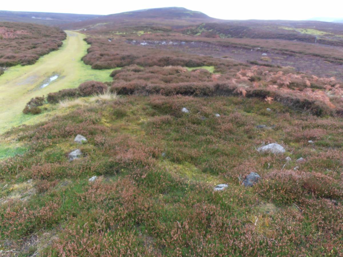
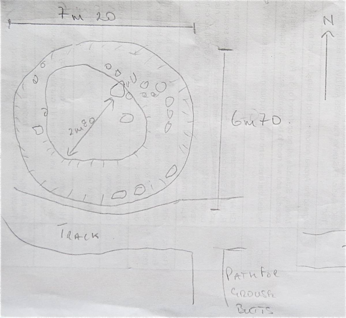
| Record Description | Cairn that is 7m 20cms x 6m 70cms, with an internal circumference of 2m 80cms. The height of the bank is never more than 50cms at the highest point.
This site is located within the coaxial field system which extends across the whole of Grinton Moor - see Coaxial Field Systems in Swaledale: A Reassessment by TC Laurie, NW Mahaffy and RF White, July 2010. The site is within the area G4 opposite the end of the Earthworks. |
| Image 1 ID | 5629 Click image to enlarge |
| Image 1 Description | View of the cairn |  |
| Image 2 ID | 5619 Click image to enlarge |
| Image 2 Description | The East side of the cairn. | 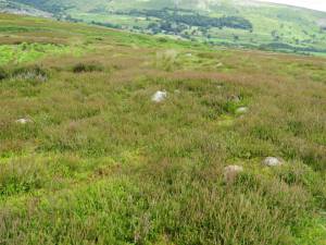 |
| Image 3 ID | 5652 Click image to enlarge |
| Image 3 Description | Drawing of the cairn. |  |